Projekt
Wspólnota
Aktualności
Moja aplikacja
Moje mapy
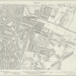
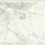
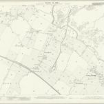
Kent XIX.8 (includes: Gillingham) - 25 Inch Map
1932
Ordnance Survey
1:3k
Kent XIX.8 (includes: Gillingham) - 25 Inch Map
1907
Ordnance Survey
1:3k
Kent XIX.8 (includes: Gillingham) - 25 Inch Map
1896
Ordnance Survey
1:3k
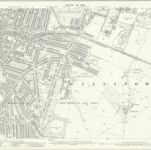
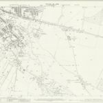
Kent XIX.12 (includes: Chatham; Gillingham) - 25 Inch Map
1939
Ordnance Survey
1:3k
Kent XIX.12 (includes: Chatham; Gillingham) - 25 Inch Map
1932
Ordnance Survey
1:3k
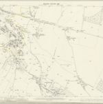
Kent XIX.12 (includes: Chatham; Gillingham) - 25 Inch Map
1907
Ordnance Survey
1:3k
Kent XIX.12 (includes: Chatham; Gillingham) - 25 Inch Map
1896
Ordnance Survey
1:3k
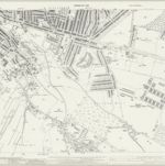
Rainham (Kent)
1797
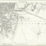
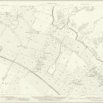
Kent XX.5 (includes: Gillingham) - 25 Inch Map
1932
Ordnance Survey
1:3k
Kent XX.5 (includes: Gillingham) - 25 Inch Map
1906
Ordnance Survey
1:3k
التاريخ
Stare mapy Gillingham
Odkryj przeszłość Gillingham na mapach historycznych
Stare mapy Gillingham
Odkryj przeszłość Gillingham na mapach historycznych
Odkryj mapy
Odkryj historię
Region nadrzędny
Medway (borough)
Powiązane miejsca