Project
Community
News
My App
My maps
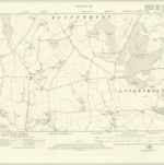
Hampshire & Isle of Wight VII.SE - OS Six-Inch Map
1923
Ordnance Survey
1:11k
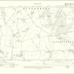
Hampshire & Isle of Wight VII.SE - OS Six-Inch Map
1909
Ordnance Survey
1:11k
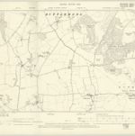
Wiltshire XLIII.SE - OS Six-Inch Map
1899
Ordnance Survey
1:11k
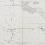
Hampshire & Isle of Wight VII.SE - OS Six-Inch Map
1894
Ordnance Survey
1:11k
Berkshire LIA.NE - OS Six-Inch Map
1922
Ordnance Survey
1:11k
Berkshire LIA.NE - OS Six-Inch Map
1909
Ordnance Survey
1:11k
Berkshire LIA.NE - OS Six-Inch Map
1899
Ordnance Survey
1:11k
Hampshire & Isle of Wight VII.NE - OS Six-Inch Map
1894
Ordnance Survey
1:11k
Berkshire XLIA.8 (includes: Combe; Linkenholt; Vernhams Dean) - 25 Inch Map
1923
Ordnance Survey
1:3k
Wiltshire XLIII.8 (includes: Combe; Linkenholt; Vernhams Dean) - 25 Inch Map
1873
Ordnance Survey
1:3k
History
Old maps of Vernhams Dean
Discover the past of Vernhams Dean on historical maps
Old maps of Vernhams Dean
Discover the past of Vernhams Dean on historical maps
Explore Maps
Discover History
Parent places
Test Valley
Related places