
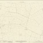
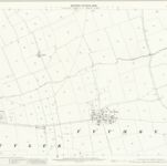
Nottinghamshire XLIII.SE - OS Six-Inch Map
1950
Ordnance Survey
1:11k

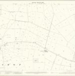
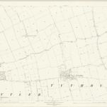
Nottinghamshire XLIII.SE - OS Six-Inch Map
1915
Ordnance Survey
1:11k

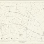
Nottinghamshire XLIII.SE - OS Six-Inch Map
1899
Ordnance Survey
1:11k

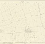
Nottinghamshire XLIII.SE - OS Six-Inch Map
1883
Ordnance Survey
1:11k
Nottinghamshire XLIII.15 (includes: Colston Bassett; Cropwell Bishop; Cropwell Butler; Langar Cum Barnstone; Tithby; Wiverton Hall) - 25 Inch Map
1915
Ordnance Survey
1:3k
Nottinghamshire XLIII.15 (includes: Colston Bassett; Cropwell Bishop; Cropwell Butler; Langar Cum Barnstone; Tithby; Wiverton Hall) - 25 Inch Map
1899
Ordnance Survey
1:3k
Nottinghamshire XLIII.15 (includes: Colston Bassett; Cropwell Bishop; Cropwell Butler; Langar Cum Barnstone; Tithby; Wiverton Hall) - 25 Inch Map
1883
Ordnance Survey
1:3k
Nottinghamshire XLIII.11 (includes: Bingham; Cropwell Butler; Tithby; Wiverton Hall) - 25 Inch Map
1915
Ordnance Survey
1:3k
Nottinghamshire XLIII.11 (includes: Bingham; Cropwell Butler; Tithby; Wiverton Hall) - 25 Inch Map
1899
Ordnance Survey
1:3k
Nottinghamshire XLIII.11 (includes: Bingham; Cropwell Butler; Tithby; Wiverton Hall) - 25 Inch Map
1883
Ordnance Survey
1:3k
Old maps of Tithby
Discover the past of Tithby on historical maps
Old maps of Tithby
Discover the past of Tithby on historical maps
Looking for a Google Maps API Alternative?