Project
Community
News
My App
My maps
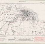
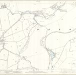
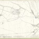
Fife and Kinross Sheet IX.SW - OS 6 Inch map
1938
Ordnance Survey
1:11k
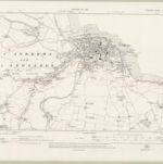
Fife and Kinross Sheet IX.SW - OS 6 Inch map
1912
Ordnance Survey
1:11k
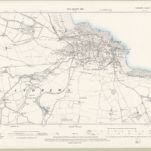
Fife and Kinross Sheet IX.SW - OS 6 Inch map
1893
Ordnance Survey
1:11k
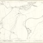
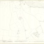
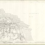
Fifeshire, Sheet 009.13 - 25 Inch Map
1912
Ordnance Survey
1:3k
Fifeshire, Sheet 009.13 - 25 Inch Map
1893
Ordnance Survey
1:3k
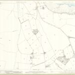
Fifeshire, Sheet 009.14 - 25 Inch Map
1912
Ordnance Survey
1:3k
Fifeshire, Sheet 009.14 - 25 Inch Map
1893
Ordnance Survey
1:3k
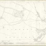
Fifeshire, Sheet 009.09 - 25 Inch Map
1912
Ordnance Survey
1:3k
Fifeshire, Sheet 009.09 - 25 Inch Map
1893
Ordnance Survey
1:3k
Fifeshire, Sheet 009.10 - 25 Inch Map
1912
Ordnance Survey
1:3k
History
Old maps of St Andrews
Discover the past of St Andrews on historical maps
Old maps of St Andrews
Discover the past of St Andrews on historical maps
Explore Maps
Discover History
Parent places
Fife
Related places