Maps of Oberhergheim
 1841|Lithographie de Ve Levrault1:80 000
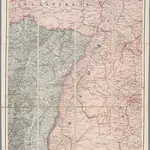
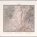 1831|Herder, Bartholomew1:200 000
 1869|Migeon, J.1:116 280
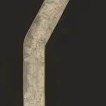
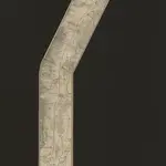 1840|Lithographie de Ve Levrault1:80 000
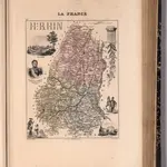
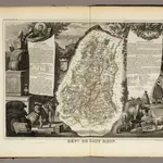 1856|Levasseur, Victor.1:571 000
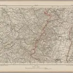 1870|Johannes Wilhelm Liebenow 1822-18971:300 000
 1870|Stanford's Geographical Establishment, Londen1:300 000
Old maps of Oberhergheim
Discover the past of Oberhergheim on historical maps
Old maps of Oberhergheim
Discover the past of Oberhergheim on historical maps
Looking for a Google Maps API Alternative?