1889
Edward Stanford Ltd.
1866
Stanford, Edward
1:11k
1891
1901
1:16k
1938
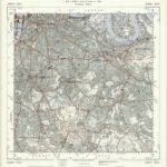
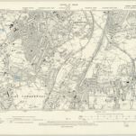
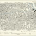
Ordnance Survey
1:25k
1893
1913
1868