Project
Community
News
My App
My maps
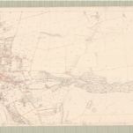
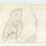
Ayr, Sheet III.12 (Largs) - OS 25 Inch map
1855
Ordnance Survey
1:3k
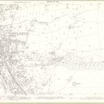
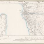
Ayrshire, Sheet 003.12 - 25 Inch Map
1909
Ordnance Survey
1:3k
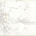
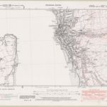
Ayrshire, Sheet 003.12 - 25 Inch Map
1895
Ordnance Survey
1:3k
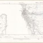
Ayrshire Sheet III.SE - OS 6 Inch map
1909
Ordnance Survey
1:11k
Ayrshire Sheet III.SE - OS 6 Inch map
1895
Ordnance Survey
1:11k
Ayrshire Sheet III.SE - OS 6 Inch map
1938
Ordnance Survey
1:11k
Ayrshire, Sheet III - OS 6 Inch map
1855
Ordnance Survey
1:11k
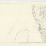
Argyllshire, Sheet CCXVI - OS 6 Inch map
1856
Ordnance Survey
1:11k
NS25 - OS 1:25,000 Provisional Series Map
1938
Ordnance Survey
1:25k
NS15 & Parts of NS14 - OS 1:25,000 Provisional Series Map
1938
Ordnance Survey
1:25k
History
Old maps of Largs
Discover the past of Largs on historical maps
Old maps of Largs
Discover the past of Largs on historical maps
Explore Maps
Discover History
Parent places
North Ayrshire
Related places