Project
Community
News
My App
My maps
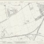
Durham III.SE - OS Six-Inch Map
1938
Ordnance Survey
1:11k
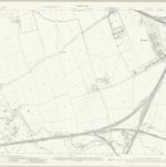
Durham III.SE - OS Six-Inch Map
1912
Ordnance Survey
1:11k
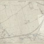
Durham III.SE - OS Six-Inch Map
1894
Ordnance Survey
1:11k
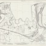
Durham III.16 (includes: Boldon; Jarrow; South Shields) - 25 Inch Map
1941
Ordnance Survey
1:3k
Durham III.16 (includes: Boldon; Jarrow; South Shields) - 25 Inch Map
1912
Ordnance Survey
1:3k
Durham III.16 (includes: Boldon; Jarrow; South Shields) - 25 Inch Map
1895
Ordnance Survey
1:3k
Northumberland XCVIII.NE - OS Six-Inch Map
1894
Ordnance Survey
1:11k
Durham III.12 (includes: Jarrow; South Shields) - 25 Inch Map
1942
Ordnance Survey
1:3k
Durham III.12 (includes: Jarrow; South Shields) - 25 Inch Map
1913
Ordnance Survey
1:3k
Durham III.15 (includes: Boldon; Hebburn; Heworth; Jarrow) - 25 Inch Map
1941
Ordnance Survey
1:3k
History
Old maps of Jarrow
Discover the past of Jarrow on historical maps
Old maps of Jarrow
Discover the past of Jarrow on historical maps
Explore Maps
Discover History
Parent places
Northumberland
Related places