

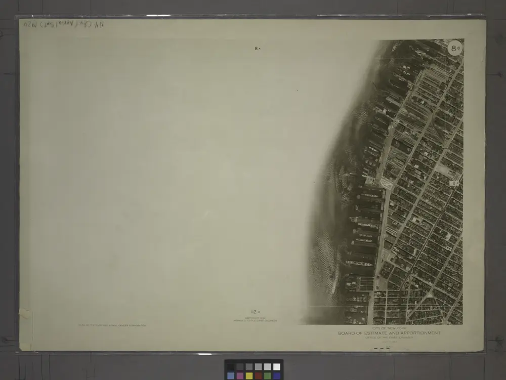
8C - N.Y. City (Aerial Set).
1924
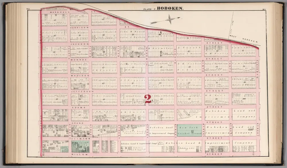
Hoboken - Plate C.
1873
Hopkins, G.M.
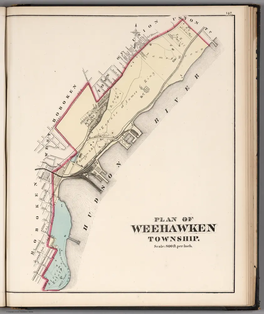
Plan of Weehawken Township.
1873
Hopkins, G.M.
1:10k
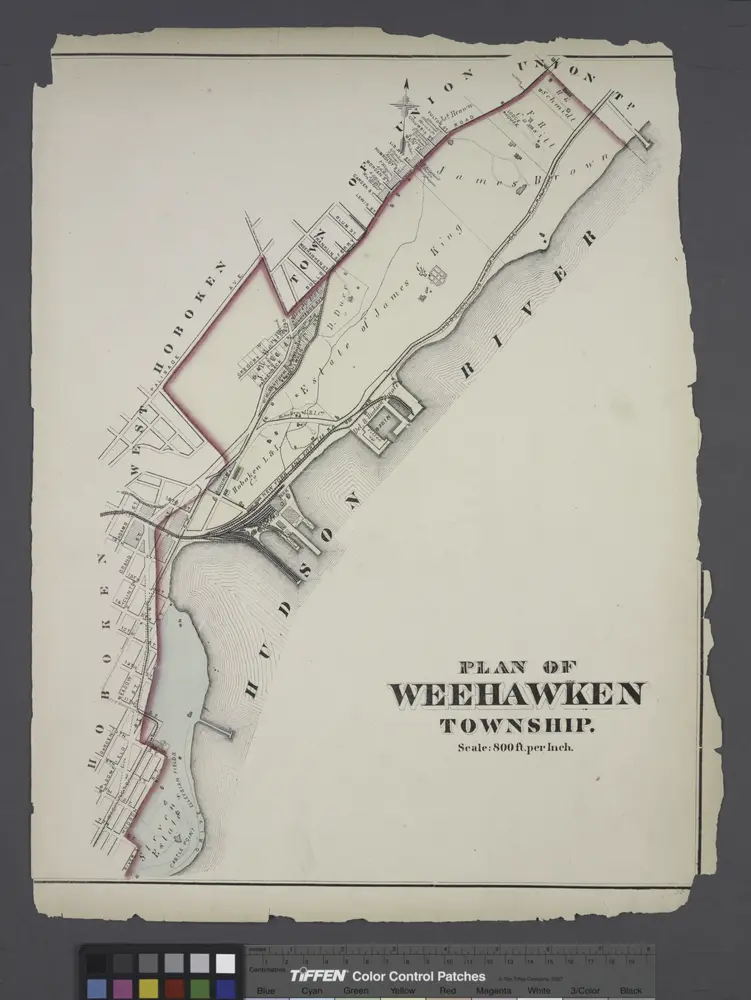
Plan of Weehawken township.
1873
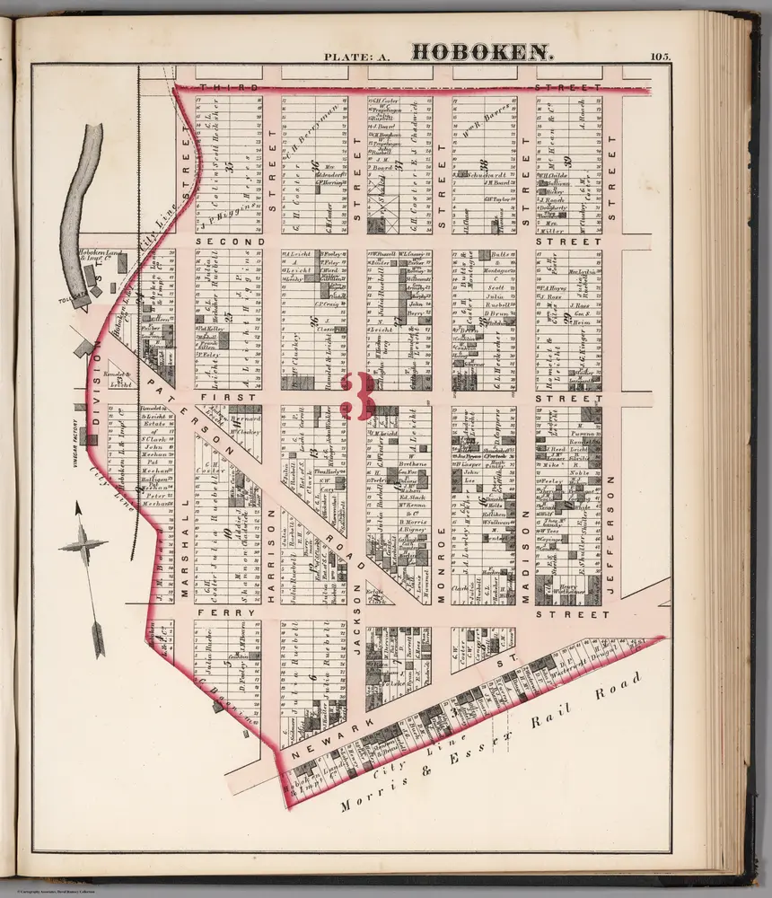
Hoboken - Plate A.
1873
Hopkins, G.M.
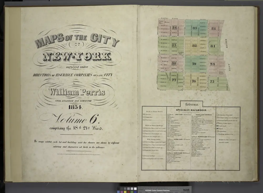
[Volume 6 Index Map.]
1854
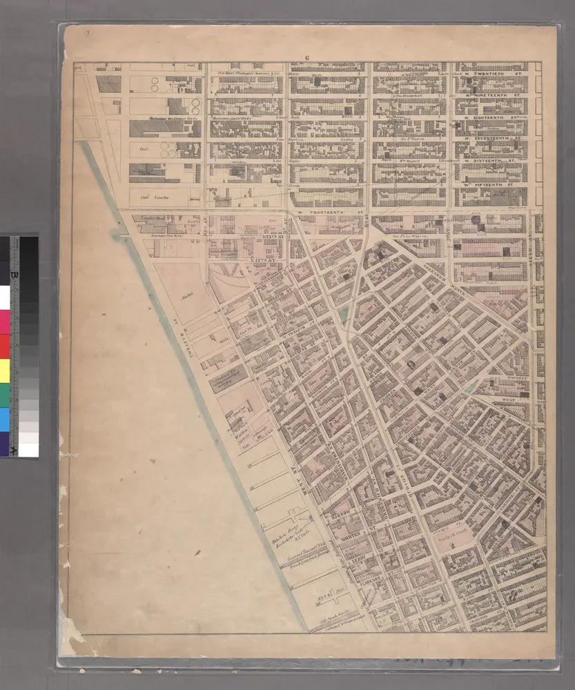
Sheet 6: [Bounded by W. Twentieth Street, Sixth Avenue, Carmine Street, Bleecker Street, Hancock Street, W. Houston Street, Varick Street, Charlton Street, Hudson Street, King Street, West Street and 10th Avenue.]
1867
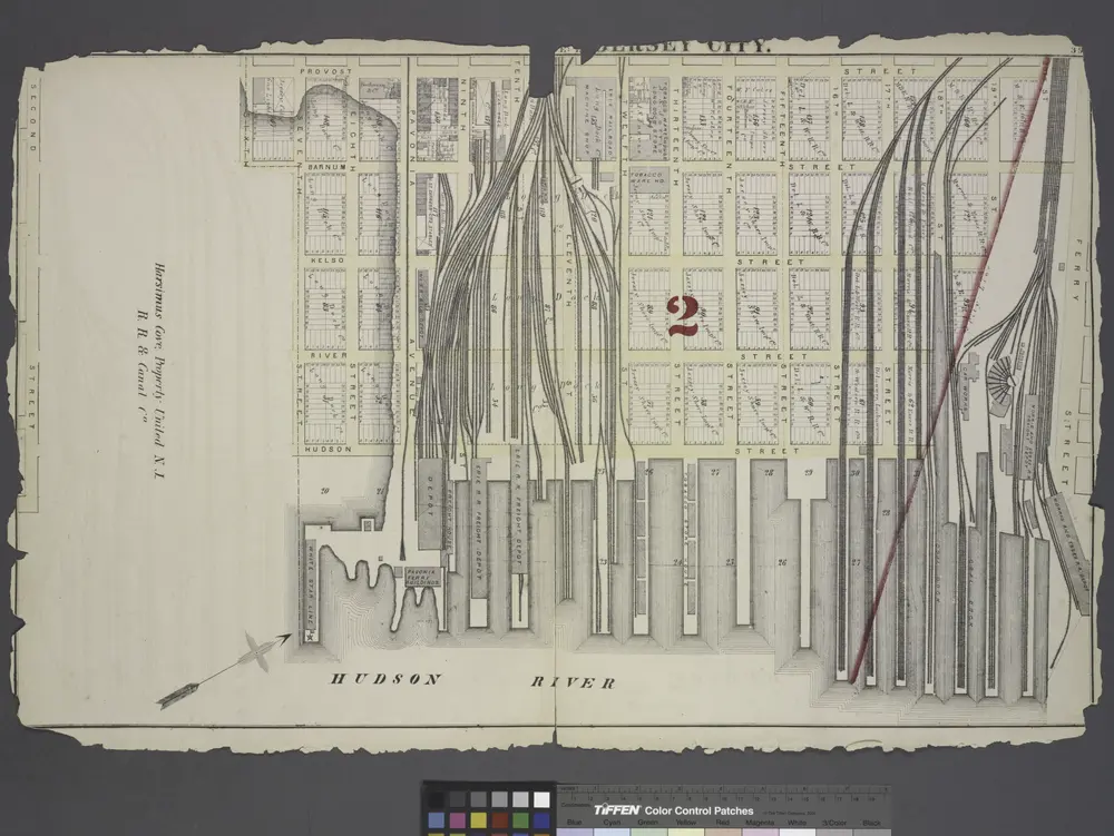
Jersey City.
1873
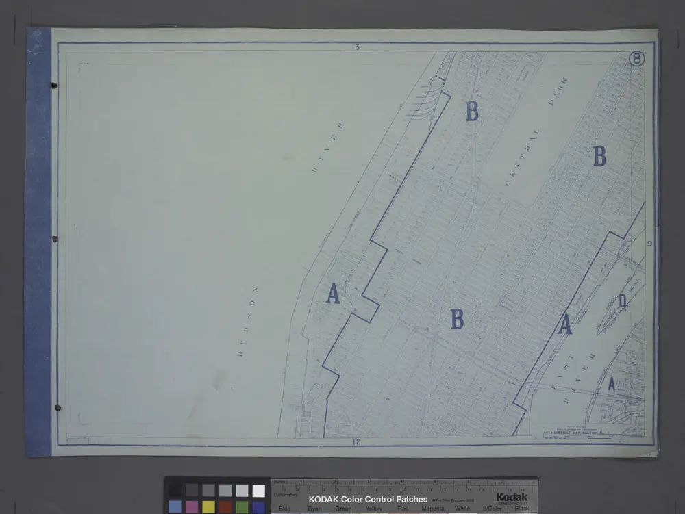
Area District Map Section No. 8
1916
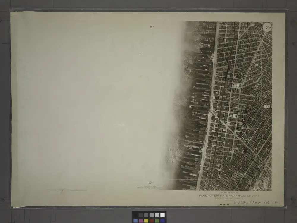
12A - N.Y. City (Aerial Set).
1924

