Project
Community
News
My App
My maps
Maps of Breamore
Advanced search
All
Private
Favorites
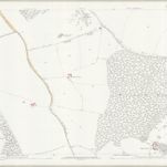
Wiltshire LXXVI.7 (includes: Breamore; Whitsbury) - 25 Inch Map
1870|Ordnance Survey
1:2 500
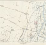
Wiltshire LXXVI.8 (includes: Breamore; Downton; Hale; Redlynch) - 25 Inch Map
1871|Ordnance Survey
1:2 500
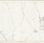
Wiltshire LXXVI.11 (includes: Breamore; Fordingbridge; Rockbourne; Whitsbury) - 25 Inch Map
1870|Ordnance Survey
1:2 500
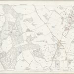
Hampshire & Isle of Wight LIV - OS Six-Inch Map
1871|Ordnance Survey
1:10 560
Wiltshire LXXVI.6 (includes: Rockbourne; Whitsbury) - 25 Inch Map
1870|Ordnance Survey
1:2 500
Hampshire & Isle of Wight LV - OS Six-Inch Map
1871|Ordnance Survey
1:10 560
Wiltshire LXXVII - OS Six-Inch Map
1871|Ordnance Survey
1:10 560
1600
1650
1700
1750
1800
1850
1900
1950
2000
History
Old maps of Breamore
Discover the past of Breamore on historical maps
Old maps of Breamore
Discover the past of Breamore on historical maps
Explore Maps
Discover History
Parent places
New Forest District
Related places
© MapTiler
© OpenStreetMap